Geospatial Technology and Spatial Thinking in IP and Trade Secret Litigation: Evidence, Analysis, and Risk

Paul B. Keller is a partner at Brownstein Hyatt Farber Schreck, LLP, where he focuses on intellectual property litigation with an emphasis on trade secret disputes, complex technology matters, and cross-border enforcement. He represents clients in federal and state courts across the United States in cases involving misappropriation, unfair competition, and emerging technology issues.

Joseph Kerski is a geographer with a focus on analyzing change over space and time across multiple fields of study. His research examines the use of Geographic Information Systems (GIS) in education. He has served as the president of the National Council for Geographic Education and has given two TED Talks on “The Whys of Where.”
2 hour CLE
Get this course, plus over 1,000+ live webinars.
Learn More
Program Summary
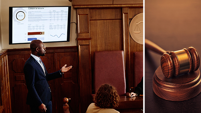
Session I – Geospatial Technology in IP and Trade Secret Litigation – Paul Keller
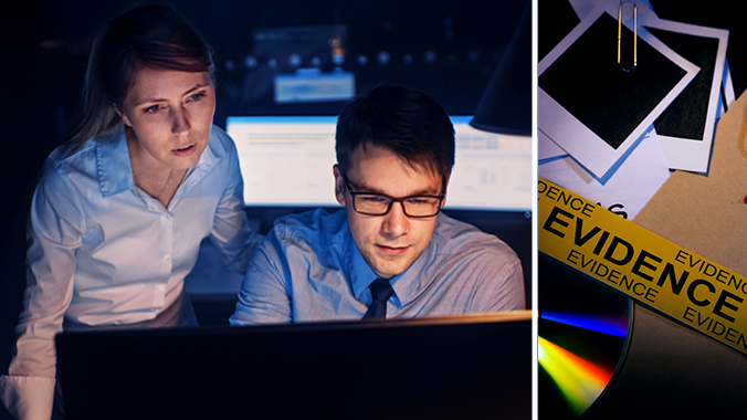
This session explores how location-based data, such as GPS records, mapping software, satellite imagery, and geofencing, has become increasingly relevant in intellectual property and trade secret disputes. This session will examine how geospatial evidence is created, preserved, and used in litigation, including its role in proving misappropriation, competitive conduct, access, and damages. Attendees will gain practical insights into evidentiary issues, discovery strategy, and risk management considerations when geospatial technology intersects with IP enforcement.
Key topics to be discussed:
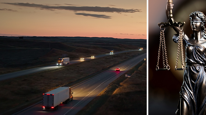
- Use of geospatial data: GPS, mapping tools, satellite imagery, and geofencing in IP and trade secret litigation
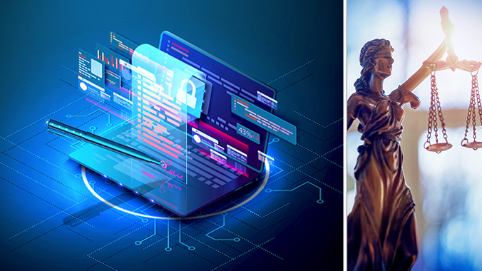
- Discovery, authentication, and admissibility issues: Considerations involving location-based evidence
- Leveraging geospatial evidence: Establishing access, misappropriation, competitive activity, and damages
- Risk mitigation and compliance considerations: Geospatial data collection and use
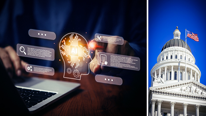
Session II – Spatial Thinking and Geospatial Data in Practice: Insights, Innovation, and Impact – Joseph Kerski
This session provides the geospatial and spatial-thinking foundation behind the location-based data increasingly used in high-stakes decision-making across industries. Focusing on geotechnologies such as GIS, GPS, remote sensing, and web mapping, the session explores how geospatial data are created, analyzed, validated, and communicated in real-world contexts. Participants will learn how spatial thinking reveals patterns, relationships, movement, and scale, and how these insights support operational, analytical, and strategic objectives. The session emphasizes data quality, ethical use, effective visualization, and interdisciplinary integration, equipping attendees with a deeper understanding of how geospatial technologies generate credible, actionable insights that later may appear in policy, regulatory, or legal settings.
Key topics to be discussed:
- What are the geospatial technologies?
- Why do they matter to society?
- What are the key forces and trends that have transformed and will continue to shape geospatial technologies in this decade?
- What skills are needed for success in geospatial technologies and how can you gain these skills?
This course is co-sponsored with myLawCLE.
Date / Time: January 28, 2026
- 1:00 pm – 3:10 pm Eastern
- 12:00 pm – 2:10 pm Central
- 11:00 am – 1:10 pm Mountain
- 10:00 am – 12:10 pm Pacific
![]() Closed-captioning available
Closed-captioning available
Speakers
Paul Keller | Brownstein Hyatt Farber Schreck, LLP
Paul B. Keller is a partner at Brownstein Hyatt Farber Schreck, LLP, where he focuses on intellectual property litigation with an emphasis on trade secret disputes, complex technology matters, and cross-border enforcement. He represents clients in federal and state courts across the United States in cases involving misappropriation, unfair competition, and emerging technology issues. Paul regularly advises companies on protecting proprietary information, managing litigation risk, and navigating disputes involving data-driven technologies. He is a frequent speaker on IP litigation trends and the intersection of technology and law.
Joseph Kerski | Joseph Kerski, Ph.D. GISP
Joseph Kerski is a geographer with a focus on analyzing change over space and time across multiple fields of study. His research examines the use of Geographic Information Systems (GIS) in education. He has served as the president of the National Council for Geographic Education and has given two TED Talks on “The Whys of Where.” He holds three degrees in geography (BA, MA, PhD) and has worked as a geographer across five major sectors, including as an independent consultant; in government (NOAA, US Census Bureau, USGS); in academia (University of Minnesota, Harrisburg Area Community College, Penn State University, Sinte Gleska University, University of Denver, and others); in private industry (as Education Manager for Esri); and in nonprofit organizations (with roles in geography and education associations).
Joseph has authored over 100 chapters and articles and produced 200 podcasts on GIS, education, space, place, and related topics. He has visited more than 350 schools, and 400 universities worldwide and regularly conducts professional development for educators. He has created over 7,000 videos, 2,500 lessons, 1,500 blog essays, and authored 12 books, including Interpreting Our World, Spatial Thinking in Environmental Contexts, Essentials of the Environment, Spatial Mathematics, Tribal GIS, International Perspectives on Teaching and Learning, and The GIS Guide to Public Domain Data. As a lifelong learner, he continues to seek mentors, partners, and collaborators.
Agenda
Session I – Geospatial Technology in IP and Trade Secret Litigation | 1:00pm – 2:00pm
- Use of geospatial data: GPS, mapping tools, satellite imagery, and geofencing in IP and trade secret litigation
- Discovery, authentication, and admissibility issues: Considerations involving location-based evidence
- Leveraging geospatial evidence: Establishing access, misappropriation, competitive activity, and damages
- Risk mitigation and compliance considerations: Geospatial data collection and use
Break | 2:00pm – 2:10pm
Session II – Spatial Thinking and Geospatial Data in Practice: Insights, Innovation, and Impact | 2:10pm – 3:10pm
- What are the geospatial technologies?
- Why do they matter to society?
- What are the key forces and trends that have transformed and will continue to shape geospatial technologies in this decade?
- What skills are needed for success in geospatial technologies and how can you gain these skills?
More CLE Webinars
Trending CLE Webinars


Upcoming CLE Webinars


© 2026 Miami Dade Bar